Rattery village bridge
Introduction
The photograph on this page of Rattery village bridge by David Smith as part of the Geograph project.
The Geograph project started in 2005 with the aim of publishing, organising and preserving representative images for every square kilometre of Great Britain, Ireland and the Isle of Man.

There are currently over 7.5m images from over 14,400 individuals and you can help contribute to the project by visiting https://www.geograph.org.uk
Rattery village bridge
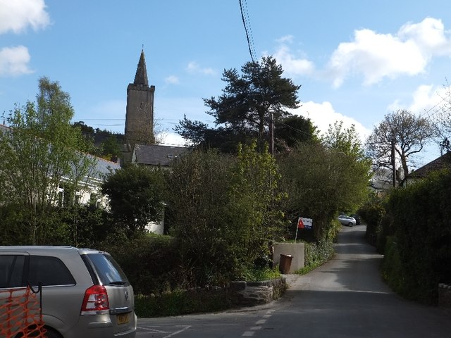
Image: © David Smith Taken: 6 May 2012
The village lies in the valley of the Bidwell Brook which is crossed by the bridge seen here. The church is on the opposite side of the valley.
Images are licensed for reuse under creativecommons.org/licenses/by-sa/2.0
Image Location
Latitude
50.440961
Longitude
-3.775205