Capel Llwynyrhwrdd
Introduction
The photograph on this page of Capel Llwynyrhwrdd by chris whitehouse as part of the Geograph project.
The Geograph project started in 2005 with the aim of publishing, organising and preserving representative images for every square kilometre of Great Britain, Ireland and the Isle of Man.

There are currently over 7.5m images from over 14,400 individuals and you can help contribute to the project by visiting https://www.geograph.org.uk
Capel Llwynyrhwrdd
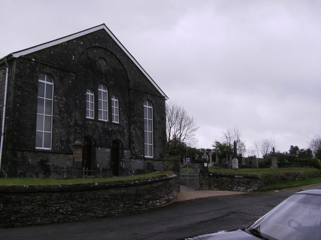
Image: © chris whitehouse Taken: 30 Apr 2012
Chapel and part of the grave yard. The plaque above the centre windows could not be read due to the distance, but magnified see Image
Images are licensed for reuse under creativecommons.org/licenses/by-sa/2.0
Image Location


Leaflet Map data © OpenStreetMap
Latitude
51.963581
Longitude
-4.579765