Tide Mill at Froe
Introduction
The photograph on this page of Tide Mill at Froe by Chris J Dixon as part of the Geograph project.
The Geograph project started in 2005 with the aim of publishing, organising and preserving representative images for every square kilometre of Great Britain, Ireland and the Isle of Man.

There are currently over 7.5m images from over 14,400 individuals and you can help contribute to the project by visiting https://www.geograph.org.uk
Tide Mill at Froe
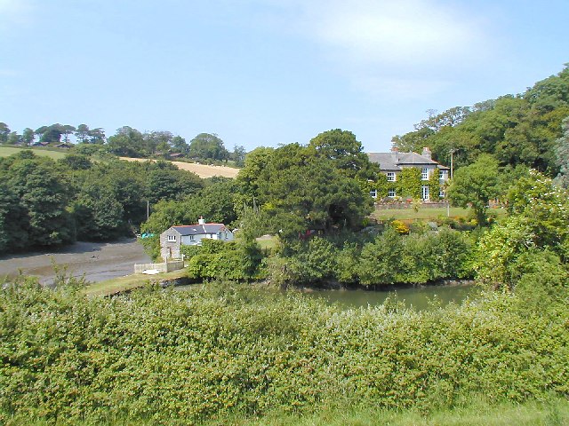
Image: © Chris J Dixon Taken: 26 Jun 2005
The dam is to the left, holding back the body of water which can just be seen. The mud of the estuary beyond shows the difference in level.
Images are licensed for reuse under creativecommons.org/licenses/by-sa/2.0
Image Location


Leaflet Map data © OpenStreetMap
Latitude
50.161282
Longitude
-4.987764