Bardwell Road
Introduction
The photograph on this page of Bardwell Road by Ian Capper as part of the Geograph project.
The Geograph project started in 2005 with the aim of publishing, organising and preserving representative images for every square kilometre of Great Britain, Ireland and the Isle of Man.

There are currently over 7.5m images from over 14,400 individuals and you can help contribute to the project by visiting https://www.geograph.org.uk
Bardwell Road
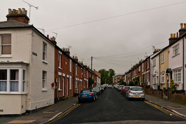
Image: © Ian Capper Taken: 3 May 2012
Late Victorian terrace housing. The building on the left, at its junction with Thorpe Road, is a former shop. All are locally listed. In the wall on the left can be seen a World War 1 Street Memorial (see Image for close up).
Images are licensed for reuse under creativecommons.org/licenses/by-sa/2.0
Image Location
Latitude
51.747779
Longitude
-0.338053