Albert Street
Introduction
The photograph on this page of Albert Street by Ian Capper as part of the Geograph project.
The Geograph project started in 2005 with the aim of publishing, organising and preserving representative images for every square kilometre of Great Britain, Ireland and the Isle of Man.

There are currently over 7.5m images from over 14,400 individuals and you can help contribute to the project by visiting https://www.geograph.org.uk
Albert Street
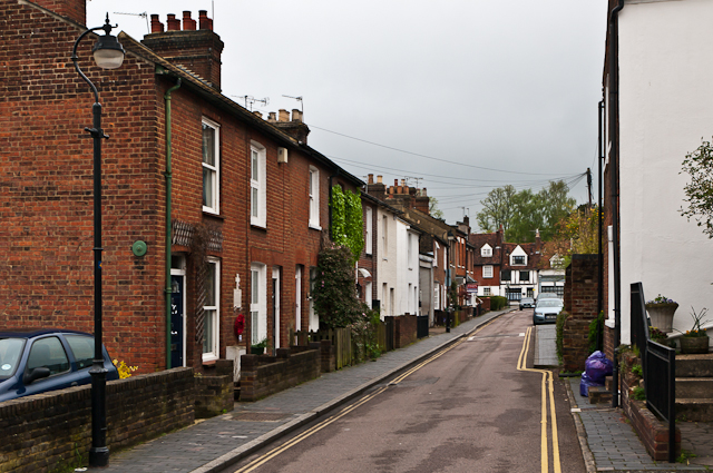
Image: © Ian Capper Taken: 3 May 2012
Originally a lane giving access to the rear of the inns of Holywell Hill and The Goat in Sopwell Lane (see Image), it was developed as a residential street in the mid 19th century. These houses are locally listed. On the wall of the first building on the left can be seen a World War 1 Street Memorial (see Image for close up).
Images are licensed for reuse under creativecommons.org/licenses/by-sa/2.0
Image Location
Latitude
51.749119
Longitude
-0.339351