Fields in Glen Cloy
Introduction
The photograph on this page of Fields in Glen Cloy by Nigel Brown as part of the Geograph project.
The Geograph project started in 2005 with the aim of publishing, organising and preserving representative images for every square kilometre of Great Britain, Ireland and the Isle of Man.

There are currently over 7.5m images from over 14,400 individuals and you can help contribute to the project by visiting https://www.geograph.org.uk
Fields in Glen Cloy
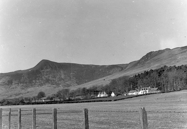
Image: © Nigel Brown Taken: Unknown
Looking towards the houses of High Glencloy. At the time this picture was taken, the nearest house was a hostel run by the Scottish Youth Hostel Association.
Images are licensed for reuse under creativecommons.org/licenses/by-sa/2.0
Image Location
Latitude
55.571127
Longitude
-5.169355