Top Lane in Wadshelf
Introduction
The photograph on this page of Top Lane in Wadshelf by Jonathan Clitheroe as part of the Geograph project.
The Geograph project started in 2005 with the aim of publishing, organising and preserving representative images for every square kilometre of Great Britain, Ireland and the Isle of Man.

There are currently over 7.5m images from over 14,400 individuals and you can help contribute to the project by visiting https://www.geograph.org.uk
Top Lane in Wadshelf
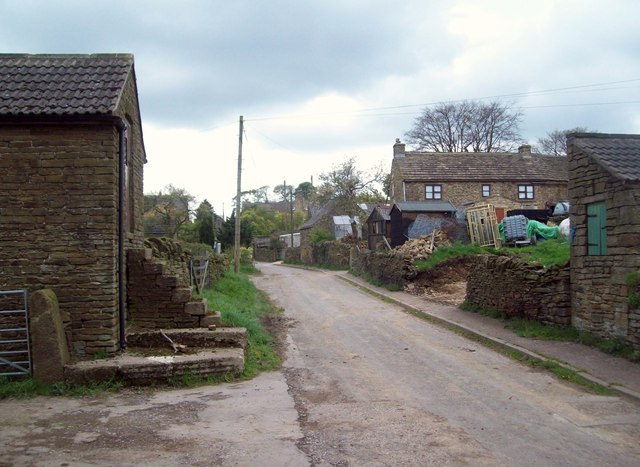
Image: © Jonathan Clitheroe Taken: 5 May 2012
This scene probably hasn't changed much in a hundred years or more. It contrasts sharply with the more modern dwellings at the northern end of the village.
Images are licensed for reuse under creativecommons.org/licenses/by-sa/2.0
Image Location
Latitude
53.234823
Longitude
-1.526534