Pomona Barns, Bartestree.
Introduction
The photograph on this page of Pomona Barns, Bartestree. by David Gillman as part of the Geograph project.
The Geograph project started in 2005 with the aim of publishing, organising and preserving representative images for every square kilometre of Great Britain, Ireland and the Isle of Man.

There are currently over 7.5m images from over 14,400 individuals and you can help contribute to the project by visiting https://www.geograph.org.uk
Pomona Barns, Bartestree.
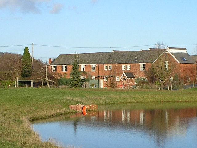
Image: © David Gillman Taken: 9 Dec 2006
These are converted barns, originally part of Pomona Farm.
Images are licensed for reuse under creativecommons.org/licenses/by-sa/2.0
Image Location
Latitude
52.07466
Longitude
-2.63318