Ivy Lodge Farm viewed from Laughton Hills
Introduction
The photograph on this page of Ivy Lodge Farm viewed from Laughton Hills by Richard Williams as part of the Geograph project.
The Geograph project started in 2005 with the aim of publishing, organising and preserving representative images for every square kilometre of Great Britain, Ireland and the Isle of Man.

There are currently over 7.5m images from over 14,400 individuals and you can help contribute to the project by visiting https://www.geograph.org.uk
Ivy Lodge Farm viewed from Laughton Hills
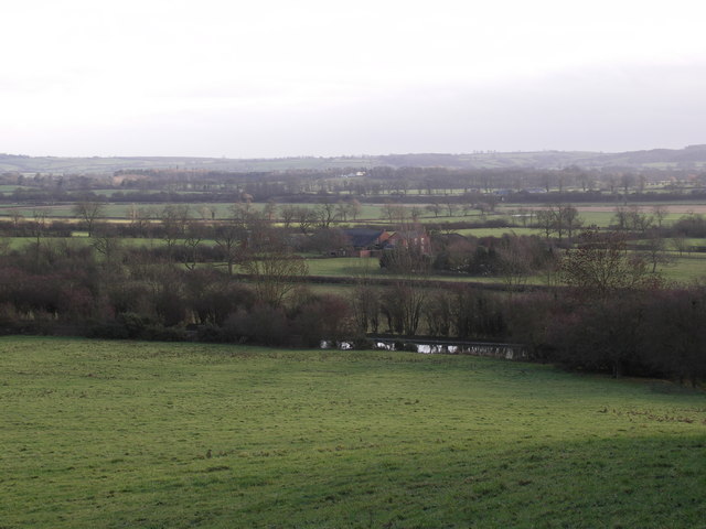
Image: © Richard Williams Taken: 12 Dec 2006
Square is mainly agricultural land with range of hills to the north. Photograph is taken from Laughton Hills, over the Grand Union canal and across to the Hothorpe Hills in the distance
Images are licensed for reuse under creativecommons.org/licenses/by-sa/2.0
Image Location
Latitude
52.48047
Longitude
-1.020781