Forest Track on Knipes Hill
Introduction
The photograph on this page of Forest Track on Knipes Hill by Martin Dawes as part of the Geograph project.
The Geograph project started in 2005 with the aim of publishing, organising and preserving representative images for every square kilometre of Great Britain, Ireland and the Isle of Man.

There are currently over 7.5m images from over 14,400 individuals and you can help contribute to the project by visiting https://www.geograph.org.uk
Forest Track on Knipes Hill
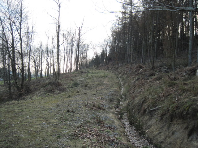
Image: © Martin Dawes Taken: 23 Mar 2010
This is a very large patch of forestry, coming west from the bulk of Hambleton End down to the villages of Over Silton and Nether Silton
Images are licensed for reuse under creativecommons.org/licenses/by-sa/2.0
Image Location
Latitude
54.33022
Longitude
-1.291997