Mothecombe Lodge
Introduction
The photograph on this page of Mothecombe Lodge by Derek Harper as part of the Geograph project.
The Geograph project started in 2005 with the aim of publishing, organising and preserving representative images for every square kilometre of Great Britain, Ireland and the Isle of Man.

There are currently over 7.5m images from over 14,400 individuals and you can help contribute to the project by visiting https://www.geograph.org.uk
Mothecombe Lodge
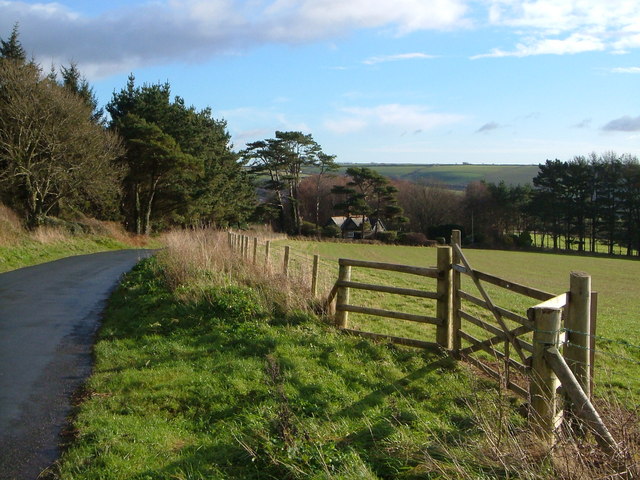
Image: © Derek Harper Taken: 9 Dec 2006
The lane drops past Higher Field Plantation on the left, to the junction beside the lodge with the lane to Nethecombe. The land is part of the Flete estate; note new gate and fence.
Images are licensed for reuse under creativecommons.org/licenses/by-sa/2.0
Image Location
Latitude
50.315462
Longitude
-3.956501