Townfield Farm
Introduction
The photograph on this page of Townfield Farm by Ian Nadin as part of the Geograph project.
The Geograph project started in 2005 with the aim of publishing, organising and preserving representative images for every square kilometre of Great Britain, Ireland and the Isle of Man.

There are currently over 7.5m images from over 14,400 individuals and you can help contribute to the project by visiting https://www.geograph.org.uk
Townfield Farm
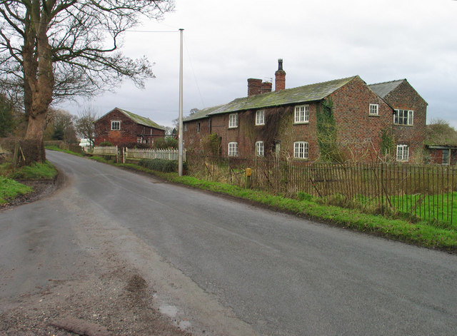
Image: © Ian Nadin Taken: 12 Dec 2006
Townfield Farm, Townfield Lane near Allostock. One of many simple, but attractive farms built from red Cheshire bricks.
Images are licensed for reuse under creativecommons.org/licenses/by-sa/2.0
Image Location
Latitude
53.247114
Longitude
-2.379109