
River Ure Downstream towards Piccadilly Wood
Introduction
The photograph on this page of River Ure Downstream towards Piccadilly Wood by Chris Heaton as part of the Geograph project.
The Geograph project started in 2005 with the aim of publishing, organising and preserving representative images for every square kilometre of Great Britain, Ireland and the Isle of Man.

There are currently over 7.5m images from over 14,400 individuals and you can help contribute to the project by visiting https://www.geograph.org.uk
River Ure Downstream towards Piccadilly Wood
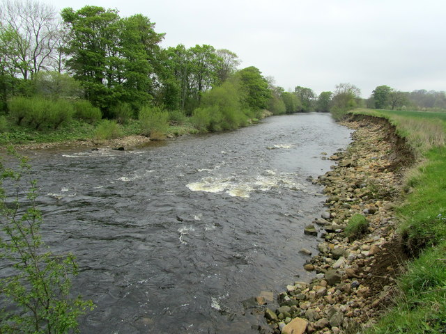
Image: © Chris Heaton Taken: 2 May 2012
The river between West Tanfield and Mickley. The Ripon Rowell runs along the right bank, as marked on the map - although another long distance footpath also runs along here called the Yoredale Way, which has been in existence much longer. It gets no publicity but basically follows the river from York for 101 miles to its source at Ure Head, Mallerstang.
Images are licensed for reuse under creativecommons.org/licenses/by-sa/2.0
Image Location

Latitude
54.190872
Longitude
-1.593995