Fork in the lane
Introduction
The photograph on this page of Fork in the lane by Jeremy Bolwell as part of the Geograph project.
The Geograph project started in 2005 with the aim of publishing, organising and preserving representative images for every square kilometre of Great Britain, Ireland and the Isle of Man.

There are currently over 7.5m images from over 14,400 individuals and you can help contribute to the project by visiting https://www.geograph.org.uk
Fork in the lane
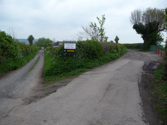
Image: © Jeremy Bolwell Taken: 4 May 2012
The track on the left heads towards Weir Hill Farm and the right fork heads towards the river, carrying the footpath.
Images are licensed for reuse under creativecommons.org/licenses/by-sa/2.0
Image Location
Latitude
52.704476
Longitude
-2.719072