Rhiw Fach, Penyrheol,Caerphilly
Introduction
The photograph on this page of Rhiw Fach, Penyrheol,Caerphilly by Jaggery as part of the Geograph project.
The Geograph project started in 2005 with the aim of publishing, organising and preserving representative images for every square kilometre of Great Britain, Ireland and the Isle of Man.

There are currently over 7.5m images from over 14,400 individuals and you can help contribute to the project by visiting https://www.geograph.org.uk
Rhiw Fach, Penyrheol,Caerphilly
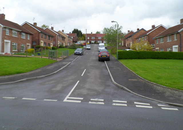
Image: © Jaggery Taken: 1 May 2012
Residential street viewed from Troed-y-Bryn looking towards Heol Tir Gibbon. Rhiw fach is Welsh for little slope, an appropriate name here.
Images are licensed for reuse under creativecommons.org/licenses/by-sa/2.0
Image Location
Latitude
51.586998
Longitude
-3.239824