The Stour Centre, Ashford
Introduction
The photograph on this page of The Stour Centre, Ashford by John Baker as part of the Geograph project.
The Geograph project started in 2005 with the aim of publishing, organising and preserving representative images for every square kilometre of Great Britain, Ireland and the Isle of Man.

There are currently over 7.5m images from over 14,400 individuals and you can help contribute to the project by visiting https://www.geograph.org.uk
The Stour Centre, Ashford
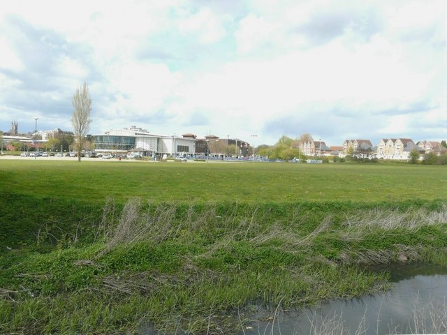
Image: © John Baker Taken: 22 Apr 2012
Seen across the East Stour from the footpath/cycleway beside it. The tower of St Mary's church is to the left of the centre.
Images are licensed for reuse under creativecommons.org/licenses/by-sa/2.0
Image Location
Latitude
51.145506
Longitude
0.878283