Gattonside
Introduction
The photograph on this page of Gattonside by Colin Smith as part of the Geograph project.
The Geograph project started in 2005 with the aim of publishing, organising and preserving representative images for every square kilometre of Great Britain, Ireland and the Isle of Man.

There are currently over 7.5m images from over 14,400 individuals and you can help contribute to the project by visiting https://www.geograph.org.uk
Gattonside
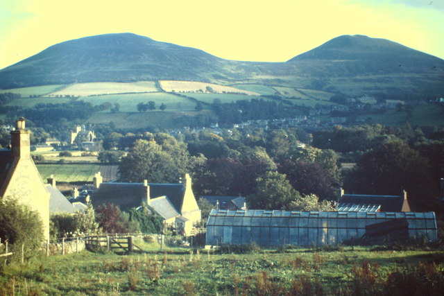
Image: © Colin Smith Taken: 1 Aug 1985
Tweeddale village with view south towards Melrose and the Eildon Hills.
Images are licensed for reuse under creativecommons.org/licenses/by-sa/2.0
Image Location
Latitude
55.607436
Longitude
-2.727277