Main Street, Follifoot
Introduction
The photograph on this page of Main Street, Follifoot by Derek Harper as part of the Geograph project.
The Geograph project started in 2005 with the aim of publishing, organising and preserving representative images for every square kilometre of Great Britain, Ireland and the Isle of Man.

There are currently over 7.5m images from over 14,400 individuals and you can help contribute to the project by visiting https://www.geograph.org.uk
Main Street, Follifoot
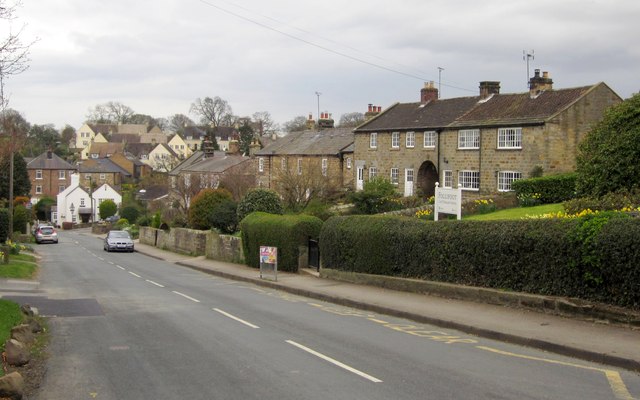
Image: © Derek Harper Taken: 2 Apr 2012
The main village street drops down to cross the Horse Pond Beck, with terraced cottages set above the road behind long gardens.
Images are licensed for reuse under creativecommons.org/licenses/by-sa/2.0
Image Location


Leaflet Map data © OpenStreetMap
Latitude
53.966642
Longitude
-1.480175