Tullycorker Road, Cloneblaugh
Introduction
The photograph on this page of Tullycorker Road, Cloneblaugh by Kenneth Allen as part of the Geograph project.
The Geograph project started in 2005 with the aim of publishing, organising and preserving representative images for every square kilometre of Great Britain, Ireland and the Isle of Man.

There are currently over 7.5m images from over 14,400 individuals and you can help contribute to the project by visiting https://www.geograph.org.uk
Tullycorker Road, Cloneblaugh
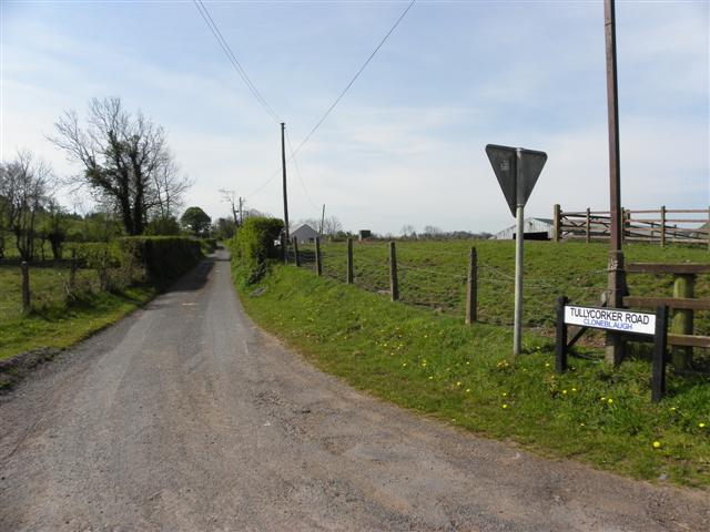
Image: © Kenneth Allen Taken: 3 May 2012
In fact this is the Claremore Road and the townland to the right should be Claremore One local man pointed out to me that they spell Cloneblaugh as Cloneyblaugh - confused?
Images are licensed for reuse under creativecommons.org/licenses/by-sa/2.0
Image Location
Latitude
54.461351
Longitude
-7.170833