Footbridge to Cameron Drive
Introduction
The photograph on this page of Footbridge to Cameron Drive by Ian Calderwood as part of the Geograph project.
The Geograph project started in 2005 with the aim of publishing, organising and preserving representative images for every square kilometre of Great Britain, Ireland and the Isle of Man.

There are currently over 7.5m images from over 14,400 individuals and you can help contribute to the project by visiting https://www.geograph.org.uk
Footbridge to Cameron Drive
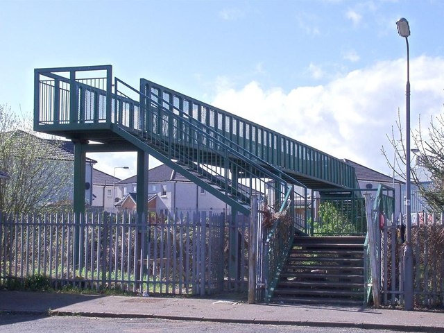
Image: © Ian Calderwood Taken: 28 Apr 2012
Cameron Drive is the new name for Bellfield Crescent. Bellfield Crescent, a.k.a. "Battlefield Crescent" became infamous in the 1980s as a dumping ground for "problem" families. The council houses have now mostly been demolished and replaced by a new development by Muir Homes.
Images are licensed for reuse under creativecommons.org/licenses/by-sa/2.0
Image Location
Latitude
56.130185
Longitude
-3.12388