Stourbridge Interchange
Introduction
The photograph on this page of Stourbridge Interchange by Stephen Rogerson as part of the Geograph project.
The Geograph project started in 2005 with the aim of publishing, organising and preserving representative images for every square kilometre of Great Britain, Ireland and the Isle of Man.

There are currently over 7.5m images from over 14,400 individuals and you can help contribute to the project by visiting https://www.geograph.org.uk
Stourbridge Interchange
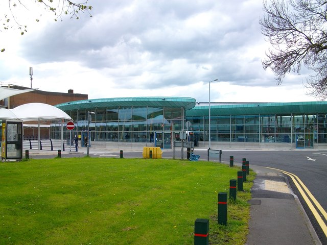
Image: © Stephen Rogerson Taken: 30 Apr 2012
This 7m new bus station with lots of new facilities and improved link to the town centre opened in April 2012.
Images are licensed for reuse under creativecommons.org/licenses/by-sa/2.0
Image Location
Latitude
52.456025
Longitude
-2.142702