Westfair access cover, Belfast
Introduction
The photograph on this page of Westfair access cover, Belfast by Albert Bridge as part of the Geograph project.
The Geograph project started in 2005 with the aim of publishing, organising and preserving representative images for every square kilometre of Great Britain, Ireland and the Isle of Man.

There are currently over 7.5m images from over 14,400 individuals and you can help contribute to the project by visiting https://www.geograph.org.uk
Westfair access cover, Belfast
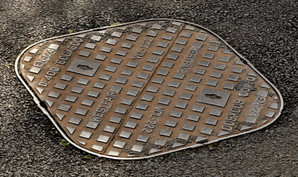
Image: © Albert Bridge Taken: 3 May 2012
A “Westfair” access cover, at Milltown Hill Image, just north of the bridge Image I have no information about this foundry. The only reference, on the web, is one other example on Flickr.
Images are licensed for reuse under creativecommons.org/licenses/by-sa/2.0
Image Location
Latitude
54.547323
Longitude
-5.943425