Old Kent Road
Introduction
The photograph on this page of Old Kent Road by Stephen McKay as part of the Geograph project.
The Geograph project started in 2005 with the aim of publishing, organising and preserving representative images for every square kilometre of Great Britain, Ireland and the Isle of Man.

There are currently over 7.5m images from over 14,400 individuals and you can help contribute to the project by visiting https://www.geograph.org.uk
Old Kent Road
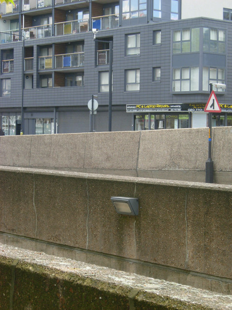
Image: © Stephen McKay Taken: 30 Apr 2012
Concrete jungle: the walls in the foreground are part of the Bricklayers Arms flyover, built in the 1970s, which brings traffic from the New Kent Road to the Old Kent Road. On the other side is Augustus Court.
Images are licensed for reuse under creativecommons.org/licenses/by-sa/2.0
Image Location
Latitude
51.492389
Longitude
-0.08374