Porthleven aerial view
Introduction
The photograph on this page of Porthleven aerial view by Pennylane Photography as part of the Geograph project.
The Geograph project started in 2005 with the aim of publishing, organising and preserving representative images for every square kilometre of Great Britain, Ireland and the Isle of Man.

There are currently over 7.5m images from over 14,400 individuals and you can help contribute to the project by visiting https://www.geograph.org.uk
Porthleven aerial view
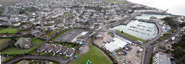
Image: © Pennylane Photography Taken: 30 Dec 2010
Aerial view of Porthleven Cornwall, December 2010 taken from approx 300 ft in the playing field. This was taken with my Radio Control Photographic Drone.
Images are licensed for reuse under creativecommons.org/licenses/by-sa/2.0
Image Location
Latitude
50.086456
Longitude
-5.31797