River Wandle alongside Poulter Park
Introduction
The photograph on this page of River Wandle alongside Poulter Park by Marathon as part of the Geograph project.
The Geograph project started in 2005 with the aim of publishing, organising and preserving representative images for every square kilometre of Great Britain, Ireland and the Isle of Man.

There are currently over 7.5m images from over 14,400 individuals and you can help contribute to the project by visiting https://www.geograph.org.uk
River Wandle alongside Poulter Park
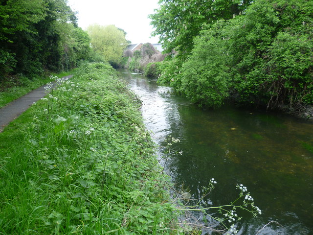
Image: © Marathon Taken: 2 May 2012
The River Wandle here is immediately downriver of the outflow of Beddington Sewage Treatment Works and so the river is flowing much more quickly, and also has a certain 'tang' to it. The path here is followed by the Wandle Trail. Poulter Park is just the other side of the woodland on the left.
Images are licensed for reuse under creativecommons.org/licenses/by-sa/2.0
Image Location
Latitude
51.388763
Longitude
-0.166117