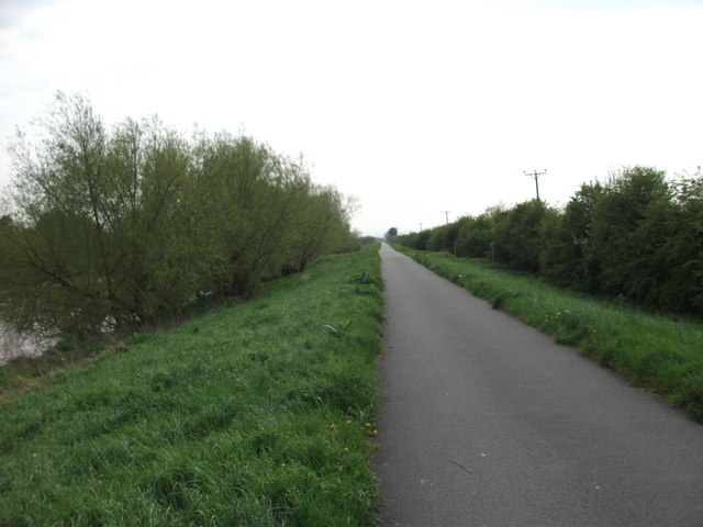
Cycle track beside the River Dee
Introduction
The photograph on this page of Cycle track beside the River Dee by John Haynes as part of the Geograph project.
The Geograph project started in 2005 with the aim of publishing, organising and preserving representative images for every square kilometre of Great Britain, Ireland and the Isle of Man.
There are currently over 7.5m images from over 14,400 individuals and you can help contribute to the project by visiting https://www.geograph.org.uk

Image: © John Haynes Taken: 2 May 2012
This is Cycle Route 89 heading westward out of Chester towards Connahs Quay along the top of the sea wall first constructed in 1730 when the river was canalised. http://www.sustrans.org.uk/sustrans-near-you/north-of-england/cheshire It is also a footpath which will become the first part of The Wales Coast Path (Llwybr Arfordir Cymru) when it reaches the border. http://www.ccw.gov.uk/enjoying-the-country/wales-coast-path.aspx?lang=en

