The Three Conies
Introduction
The photograph on this page of The Three Conies by Stuart Logan as part of the Geograph project.
The Geograph project started in 2005 with the aim of publishing, organising and preserving representative images for every square kilometre of Great Britain, Ireland and the Isle of Man.

There are currently over 7.5m images from over 14,400 individuals and you can help contribute to the project by visiting https://www.geograph.org.uk
The Three Conies
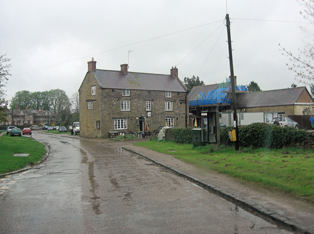
Image: © Stuart Logan Taken: 28 Apr 2012
Not the sort of pub one should rabbit-on about but it's 17th C and an old drovers drinking house.English Heritage Building ID: 234502. See also: http://www.britishlistedbuildings.co.uk/en-234502-three-conies-inn-thorpe-mandeville
Images are licensed for reuse under creativecommons.org/licenses/by-sa/2.0
Image Location
Latitude
52.097833
Longitude
-1.226696