The Clyde between Renfrew and Yoker
Introduction
The photograph on this page of The Clyde between Renfrew and Yoker by M J Richardson as part of the Geograph project.
The Geograph project started in 2005 with the aim of publishing, organising and preserving representative images for every square kilometre of Great Britain, Ireland and the Isle of Man.

There are currently over 7.5m images from over 14,400 individuals and you can help contribute to the project by visiting https://www.geograph.org.uk
The Clyde between Renfrew and Yoker
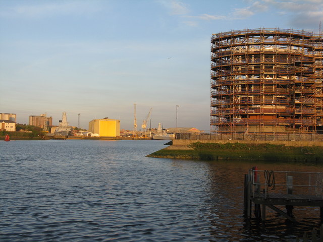
Image: © M J Richardson Taken: 2 May 2012
Looking upstream from the Renfrew Ferry slip to new building on the Renfrew side and the BAE Systems shipyard at Scotstoun.
Images are licensed for reuse under creativecommons.org/licenses/by-sa/2.0
Image Location
Latitude
55.884307
Longitude
-4.377463