Lane, Greenisland (2)
Introduction
The photograph on this page of Lane, Greenisland (2) by Albert Bridge as part of the Geograph project.
The Geograph project started in 2005 with the aim of publishing, organising and preserving representative images for every square kilometre of Great Britain, Ireland and the Isle of Man.

There are currently over 7.5m images from over 14,400 individuals and you can help contribute to the project by visiting https://www.geograph.org.uk
Lane, Greenisland (2)
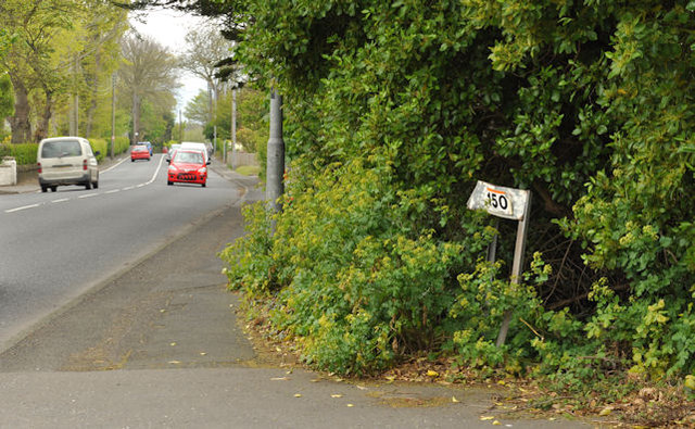
Image: © Albert Bridge Taken: 2 May 2012
This lane Image (bottom) joining the Shore Road (looking towards Belfast). To the best of my knowledge this stretch of the Shore Road is not directly affected by the proposed dual carriageway.
Images are licensed for reuse under creativecommons.org/licenses/by-sa/2.0
Image Location
Latitude
54.695348
Longitude
-5.857761