Lane, Greenisland (1)
Introduction
The photograph on this page of Lane, Greenisland (1) by Albert Bridge as part of the Geograph project.
The Geograph project started in 2005 with the aim of publishing, organising and preserving representative images for every square kilometre of Great Britain, Ireland and the Isle of Man.

There are currently over 7.5m images from over 14,400 individuals and you can help contribute to the project by visiting https://www.geograph.org.uk
Lane, Greenisland (1)
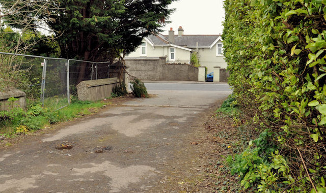
Image: © Albert Bridge Taken: 2 May 2012
A disused lane (now blocked by a fence) leading from Image, Image and Image to the Shore Road (background). This section of the proposed road, between the Station Road and Seapark, is due to run off-line on the north western side of the existing Shore Road. The usual practice would be for it to be stopped-up when the road is built.
Images are licensed for reuse under creativecommons.org/licenses/by-sa/2.0
Image Location
Latitude
54.695441
Longitude
-5.857911