Crown House, Crown Lane
Introduction
The photograph on this page of Crown House, Crown Lane by Stephen Richards as part of the Geograph project.
The Geograph project started in 2005 with the aim of publishing, organising and preserving representative images for every square kilometre of Great Britain, Ireland and the Isle of Man.

There are currently over 7.5m images from over 14,400 individuals and you can help contribute to the project by visiting https://www.geograph.org.uk
Crown House, Crown Lane
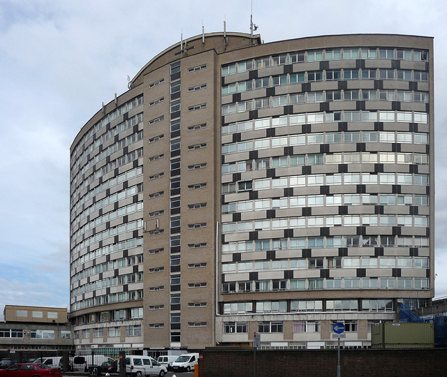
Image: © Stephen Richards Taken: 13 Aug 2011
One of a number of individual buildings scattered around south London which stand prominently like lone tall flowers missed by the scythe. This distinctive curved slab dates from 1959-61 and was the work of A. Green. Since the 1980s it has served as Merton Council's main offices.
Images are licensed for reuse under creativecommons.org/licenses/by-sa/2.0
Image Location
Latitude
51.401105
Longitude
-0.196533