Moorings on the Chesterfield Canal
Introduction
The photograph on this page of Moorings on the Chesterfield Canal by Graham Hogg as part of the Geograph project.
The Geograph project started in 2005 with the aim of publishing, organising and preserving representative images for every square kilometre of Great Britain, Ireland and the Isle of Man.

There are currently over 7.5m images from over 14,400 individuals and you can help contribute to the project by visiting https://www.geograph.org.uk
Moorings on the Chesterfield Canal
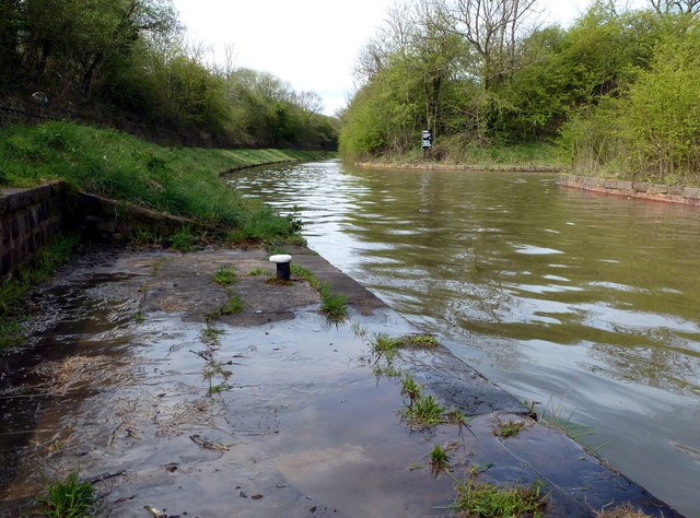
Image: © Graham Hogg Taken: 30 Apr 2012
The moorings are for the winding hole at the end of the navigable section of the canal from the River Trent to Norwood. After a very rainy April there was a lot of water entering the canal here from the supply reservoirs to the south.
Images are licensed for reuse under creativecommons.org/licenses/by-sa/2.0
Image Location
Latitude
53.335833
Longitude
-1.242789