Afon Cennen viewed from Pont Gwladys, Ffairfach
Introduction
The photograph on this page of Afon Cennen viewed from Pont Gwladys, Ffairfach by Jaggery as part of the Geograph project.
The Geograph project started in 2005 with the aim of publishing, organising and preserving representative images for every square kilometre of Great Britain, Ireland and the Isle of Man.

There are currently over 7.5m images from over 14,400 individuals and you can help contribute to the project by visiting https://www.geograph.org.uk
Afon Cennen viewed from Pont Gwladys, Ffairfach
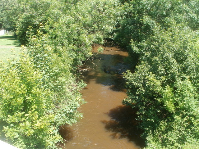
Image: © Jaggery Taken: 26 Jun 2011
The Cennen is a tributary of the River Towy, into which it flows about 750 metres NE of here. Pont Gwladys is the bridge carrying Heol Cennen (the A483) over the river.
Images are licensed for reuse under creativecommons.org/licenses/by-sa/2.0
Image Location


Leaflet Map data © OpenStreetMap
Latitude
51.872473
Longitude
-3.992859