The shortest route
Introduction
The photograph on this page of The shortest route by Jonathan Thacker as part of the Geograph project.
The Geograph project started in 2005 with the aim of publishing, organising and preserving representative images for every square kilometre of Great Britain, Ireland and the Isle of Man.

There are currently over 7.5m images from over 14,400 individuals and you can help contribute to the project by visiting https://www.geograph.org.uk
The shortest route
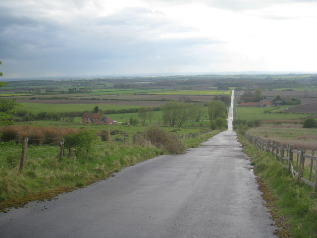
Image: © Jonathan Thacker Taken: 22 Apr 2012
The roadway constructed to transport ironstone from the Nettleton mines takes the shortest route from this point to Holton station where the ironstone was loaded on to railway trucks for transportation to Scunthorpe. If the traffic had been the other way I'm pretty certain a different route would have been taken with a rather more forgiving gradient.
Images are licensed for reuse under creativecommons.org/licenses/by-sa/2.0
Image Location


Leaflet Map data © OpenStreetMap
Latitude
53.464478
Longitude
-0.338346