Chesterfield Canal at Norwood
Introduction
The photograph on this page of Chesterfield Canal at Norwood by Graham Hogg as part of the Geograph project.
The Geograph project started in 2005 with the aim of publishing, organising and preserving representative images for every square kilometre of Great Britain, Ireland and the Isle of Man.

There are currently over 7.5m images from over 14,400 individuals and you can help contribute to the project by visiting https://www.geograph.org.uk
Chesterfield Canal at Norwood
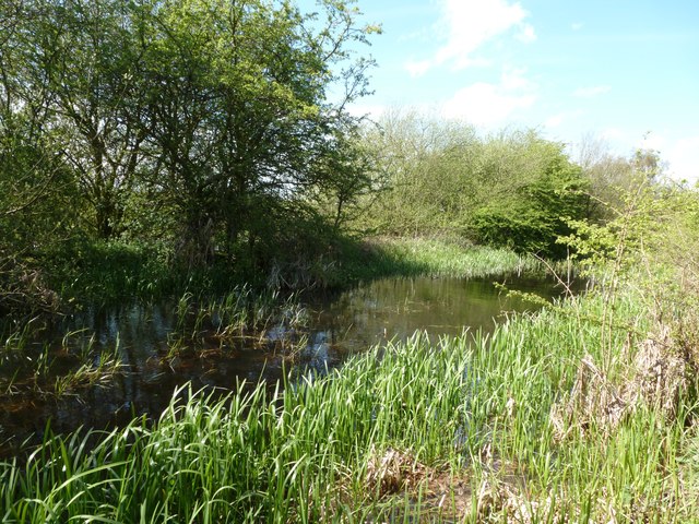
Image: © Graham Hogg Taken: 30 Apr 2012
The canal is quite obviously disused here, but the Chesterfield Canal Trust is working to restore an 8 mile section which would make the whole 46 mile canal navigable again.
Images are licensed for reuse under creativecommons.org/licenses/by-sa/2.0
Image Location
Latitude
53.331106
Longitude
-1.308041