Passageway from Priestlands Lane to Gaprigg Lane
Introduction
The photograph on this page of Passageway from Priestlands Lane to Gaprigg Lane by Oliver Dixon as part of the Geograph project.
The Geograph project started in 2005 with the aim of publishing, organising and preserving representative images for every square kilometre of Great Britain, Ireland and the Isle of Man.

There are currently over 7.5m images from over 14,400 individuals and you can help contribute to the project by visiting https://www.geograph.org.uk
Passageway from Priestlands Lane to Gaprigg Lane
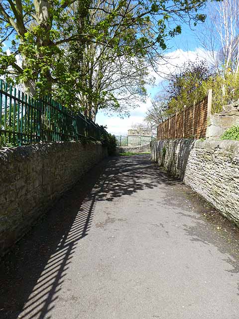
Image: © Oliver Dixon Taken: 28 Apr 2012
Many of the estates in Hexham are built up the steep hillside to the south of the town centre. The only link between the Hextol estate and the Elvaston estate (except via the main road at the bottom) is via this passageway across the valley of the Wydon Burn.
Images are licensed for reuse under creativecommons.org/licenses/by-sa/2.0
Image Location
Latitude
54.968506
Longitude
-2.105561