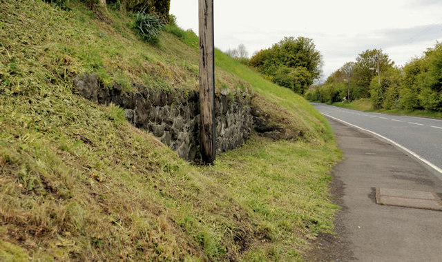
Lay-by, Magheramorne
Introduction
The photograph on this page of Lay-by, Magheramorne by Albert Bridge as part of the Geograph project.
The Geograph project started in 2005 with the aim of publishing, organising and preserving representative images for every square kilometre of Great Britain, Ireland and the Isle of Man.
There are currently over 7.5m images from over 14,400 individuals and you can help contribute to the project by visiting https://www.geograph.org.uk

Image: © Albert Bridge Taken: 30 Apr 2012
Many of these walled recesses still survive along various stretches of the county roads which have not been widened or rebuilt. I’ve never been sure of their origin or purpose except that, around 50 years ago, I remember that some (in Co Down anyway) were used to deposit stone etc pending minor road repairs and maintenance. This one is near the Shore Road Cottages.

