Junction of Brearton Lane and Green Lane
Introduction
The photograph on this page of Junction of Brearton Lane and Green Lane by Derek Harper as part of the Geograph project.
The Geograph project started in 2005 with the aim of publishing, organising and preserving representative images for every square kilometre of Great Britain, Ireland and the Isle of Man.

There are currently over 7.5m images from over 14,400 individuals and you can help contribute to the project by visiting https://www.geograph.org.uk
Junction of Brearton Lane and Green Lane
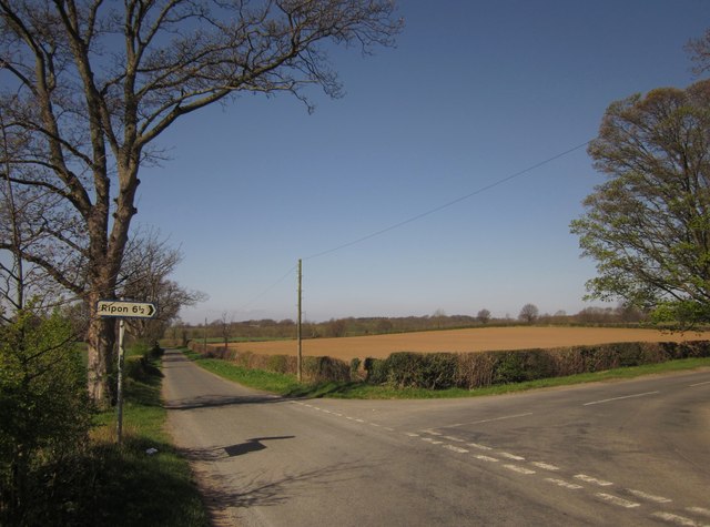
Image: © Derek Harper Taken: 1 Apr 2012
Green Lane (see http://www.geograph.org.uk/search.php?i=30923414 ) is to the right, signposted Ripon. Parish boundaries follow each lane.
Images are licensed for reuse under creativecommons.org/licenses/by-sa/2.0
Image Location
Latitude
54.046498
Longitude
-1.534924