Highfields Bridge
Introduction
The photograph on this page of Highfields Bridge by John M as part of the Geograph project.
The Geograph project started in 2005 with the aim of publishing, organising and preserving representative images for every square kilometre of Great Britain, Ireland and the Isle of Man.

There are currently over 7.5m images from over 14,400 individuals and you can help contribute to the project by visiting https://www.geograph.org.uk
Highfields Bridge
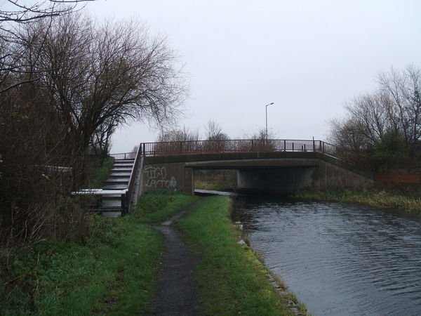
Image: © John M Taken: 10 Dec 2006
This prestressed concrete beam bridge carries Highfields Road over the Wednesbury Oak Loop.
Images are licensed for reuse under creativecommons.org/licenses/by-sa/2.0
Image Location
Latitude
52.554612
Longitude
-2.082551