Northland House, Belfast (2)
Introduction
The photograph on this page of Northland House, Belfast (2) by Albert Bridge as part of the Geograph project.
The Geograph project started in 2005 with the aim of publishing, organising and preserving representative images for every square kilometre of Great Britain, Ireland and the Isle of Man.

There are currently over 7.5m images from over 14,400 individuals and you can help contribute to the project by visiting https://www.geograph.org.uk
Northland House, Belfast (2)
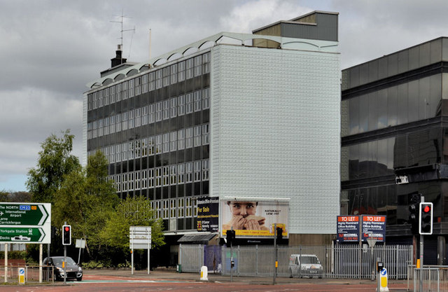
Image: © Albert Bridge Taken: 29 Apr 2012
See Image (December 2008). The building is now advertised for sale. The agents’ brochure includes this description “Ideally suited, in its current format, for a large scale office user whilst also having obvious re-development potential for a mixed office and student housing development to cater for the proposed University Campus”. This photograph appears as a matter of record only. I have no connection with any of the parties involved in the sale. Continue to Image (October 2012).
Images are licensed for reuse under creativecommons.org/licenses/by-sa/2.0
Image Location
Latitude
54.605303
Longitude
-5.929204