St Paul's Catholic Church in the mid-Falls area
Introduction
The photograph on this page of St Paul's Catholic Church in the mid-Falls area by Eric Jones as part of the Geograph project.
The Geograph project started in 2005 with the aim of publishing, organising and preserving representative images for every square kilometre of Great Britain, Ireland and the Isle of Man.

There are currently over 7.5m images from over 14,400 individuals and you can help contribute to the project by visiting https://www.geograph.org.uk
St Paul's Catholic Church in the mid-Falls area
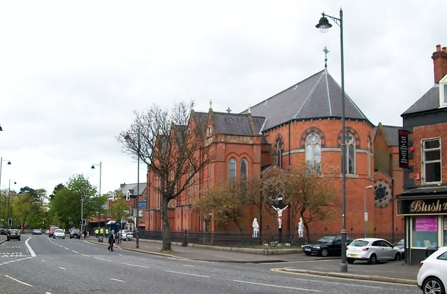
Image: © Eric Jones Taken: 27 Apr 2012
This church stands adjacent to a girls' grammar school and a university college and opposite the Royal Victoria - one of Ireland's leading hospitals. These are images which are at odds with the average Brit's impression of the Falls Road as a place of terraced housing, street riots and mayhem.
Images are licensed for reuse under creativecommons.org/licenses/by-sa/2.0
Image Location
Latitude
54.59568
Longitude
-5.955069