Pittenweem, East Neuk Fishing Port
Introduction
The photograph on this page of Pittenweem, East Neuk Fishing Port by Colin Smith as part of the Geograph project.
The Geograph project started in 2005 with the aim of publishing, organising and preserving representative images for every square kilometre of Great Britain, Ireland and the Isle of Man.

There are currently over 7.5m images from over 14,400 individuals and you can help contribute to the project by visiting https://www.geograph.org.uk
Pittenweem, East Neuk Fishing Port
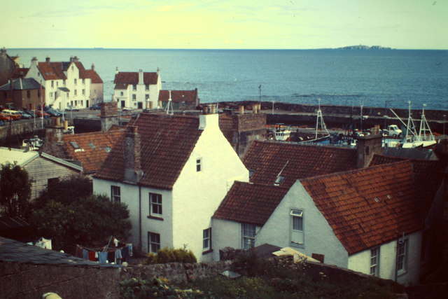
Image: © Colin Smith Taken: 15 Aug 1987
View over the historic harbour area to the Firth of Forth. The Isle of May is on the skyline. http://en.wikipedia.org/wiki/Pittenweem
Images are licensed for reuse under creativecommons.org/licenses/by-sa/2.0
Image Location
Latitude
56.212567
Longitude
-2.729668