Southern edge of Cwmavon Reservoir
Introduction
The photograph on this page of Southern edge of Cwmavon Reservoir by Jaggery as part of the Geograph project.
The Geograph project started in 2005 with the aim of publishing, organising and preserving representative images for every square kilometre of Great Britain, Ireland and the Isle of Man.

There are currently over 7.5m images from over 14,400 individuals and you can help contribute to the project by visiting https://www.geograph.org.uk
Southern edge of Cwmavon Reservoir
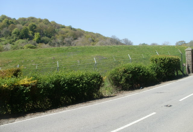
Image: © Jaggery Taken: 28 Apr 2011
Viewed from Cwmavon Road (A4043) at the southern end of the reservoir perimeter wall. http://www.geograph.org.uk/photo/2921440 The mound is at the southern edge of the reservoir, which was built in the late 19th century by the Pontypool Gas & Water Co. The reservoir, still in use, is about 120 metres long, and 65 metres wide at its widest point.
Images are licensed for reuse under creativecommons.org/licenses/by-sa/2.0
Image Location
Latitude
51.756898
Longitude
-3.06047