Three Pools Waterway
Introduction
The photograph on this page of Three Pools Waterway by K A as part of the Geograph project.
The Geograph project started in 2005 with the aim of publishing, organising and preserving representative images for every square kilometre of Great Britain, Ireland and the Isle of Man.

There are currently over 7.5m images from over 14,400 individuals and you can help contribute to the project by visiting https://www.geograph.org.uk
Three Pools Waterway
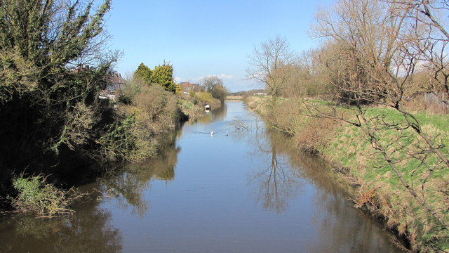
Image: © K A Taken: 18 Mar 2012
A man made waterway that drains the mosslands to the east and south of Churchtown
Images are licensed for reuse under creativecommons.org/licenses/by-sa/2.0
Image Location
Latitude
53.670306
Longitude
-2.945511