The Sluice
Introduction
The photograph on this page of The Sluice by K A as part of the Geograph project.
The Geograph project started in 2005 with the aim of publishing, organising and preserving representative images for every square kilometre of Great Britain, Ireland and the Isle of Man.

There are currently over 7.5m images from over 14,400 individuals and you can help contribute to the project by visiting https://www.geograph.org.uk
The Sluice
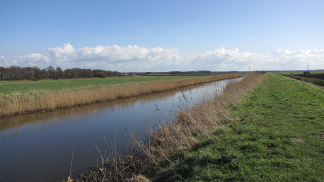
Image: © K A Taken: 18 Mar 2012
A man made water course that drains what was once England's largest lake Martin Mere.
Images are licensed for reuse under creativecommons.org/licenses/by-sa/2.0
Image Location
Latitude
53.665068
Longitude
-2.925719