Field with public footpath
Introduction
The photograph on this page of Field with public footpath by Trevor Littlewood as part of the Geograph project.
The Geograph project started in 2005 with the aim of publishing, organising and preserving representative images for every square kilometre of Great Britain, Ireland and the Isle of Man.

There are currently over 7.5m images from over 14,400 individuals and you can help contribute to the project by visiting https://www.geograph.org.uk
Field with public footpath
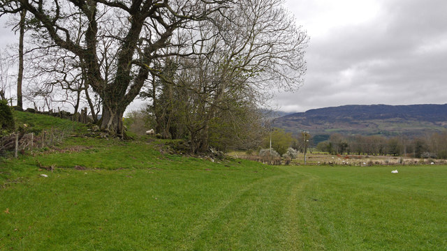
Image: © Trevor Littlewood Taken: 18 Apr 2012
The field is adjacent to the house at Tyddyn Bach and leaves a minor road north of Dolgellau. Peaks of the Cadair Idris range are hidden in the distant cloud.
Images are licensed for reuse under creativecommons.org/licenses/by-sa/2.0
Image Location
Latitude
52.752157
Longitude
-3.880455