Tollohill
Introduction
The photograph on this page of Tollohill by Colin Smith as part of the Geograph project.
The Geograph project started in 2005 with the aim of publishing, organising and preserving representative images for every square kilometre of Great Britain, Ireland and the Isle of Man.

There are currently over 7.5m images from over 14,400 individuals and you can help contribute to the project by visiting https://www.geograph.org.uk
Tollohill
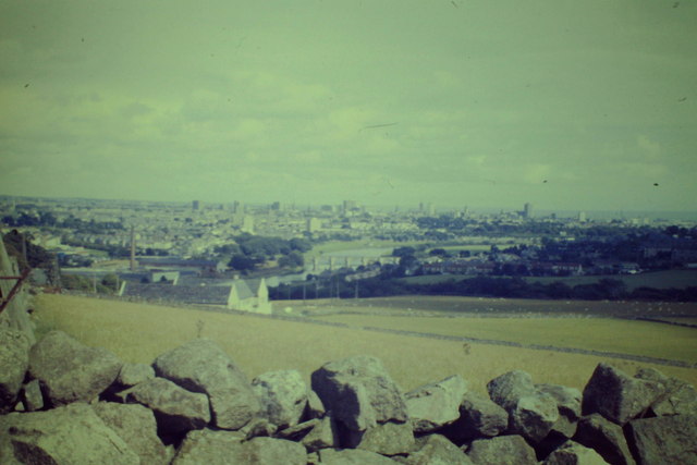
Image: © Colin Smith Taken: 15 Aug 1986
Grassy fields and drystane dykes on Tollohill (or the Blue Hill) with sweeping view down to the Bridge of Dee and across to the city centre.
Images are licensed for reuse under creativecommons.org/licenses/by-sa/2.0
Image Location
Latitude
57.11168
Longitude
-2.126453