Pencroft
Introduction
The photograph on this page of Pencroft by Ian Capper as part of the Geograph project.
The Geograph project started in 2005 with the aim of publishing, organising and preserving representative images for every square kilometre of Great Britain, Ireland and the Isle of Man.

There are currently over 7.5m images from over 14,400 individuals and you can help contribute to the project by visiting https://www.geograph.org.uk
Pencroft
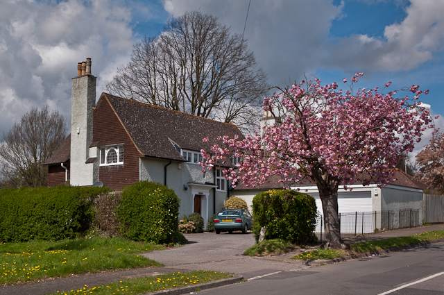
Image: © Ian Capper Taken: 22 Apr 2012
A locally listed house on Clarence Road, built in 1899 to a design of architect Paxton Watson.
Images are licensed for reuse under creativecommons.org/licenses/by-sa/2.0
Image Location
Latitude
51.224119
Longitude
-0.188909