Hyndford Street, Belfast (2)
Introduction
The photograph on this page of Hyndford Street, Belfast (2) by Albert Bridge as part of the Geograph project.
The Geograph project started in 2005 with the aim of publishing, organising and preserving representative images for every square kilometre of Great Britain, Ireland and the Isle of Man.

There are currently over 7.5m images from over 14,400 individuals and you can help contribute to the project by visiting https://www.geograph.org.uk
Hyndford Street, Belfast (2)
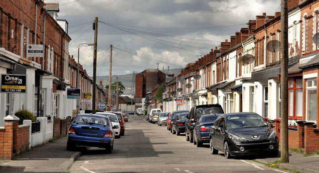
Image: © Albert Bridge Taken: 28 Apr 2012
See Image (January 2010). The view in the other direction – from Dunraven Avenue Image to the Beersbridge Road and the Owen O’Cork Mill Image Construction of the street started in the very early 20th century.
Images are licensed for reuse under creativecommons.org/licenses/by-sa/2.0
Image Location
Latitude
54.590447
Longitude
-5.885862