Nant y Parc Primary School, Senghenydd
Introduction
The photograph on this page of Nant y Parc Primary School, Senghenydd by Jaggery as part of the Geograph project.
The Geograph project started in 2005 with the aim of publishing, organising and preserving representative images for every square kilometre of Great Britain, Ireland and the Isle of Man.

There are currently over 7.5m images from over 14,400 individuals and you can help contribute to the project by visiting https://www.geograph.org.uk
Nant y Parc Primary School, Senghenydd
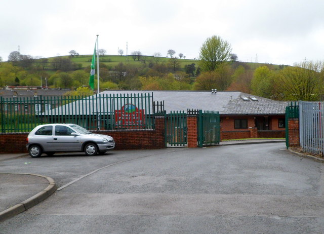
Image: © Jaggery Taken: 27 Apr 2012
The school occupies part of the former Universal Colliery site. A memorial http://www.geograph.org.uk/photo/2920398 beyond the left edge of the view commemorates the Universal Colliery disaster of 1901 when 81 men were killed, and the October 1913 disaster, which killed 439 men.
Images are licensed for reuse under creativecommons.org/licenses/by-sa/2.0
Image Location
Latitude
51.610818
Longitude
-3.282355